 |
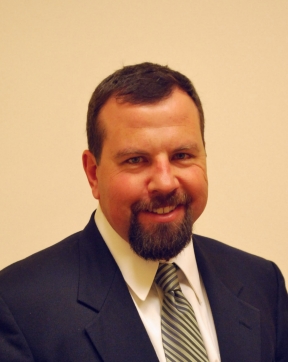
Daniel D. Lauer, M.S.Senior Geophysicist |
Experience:
In May, 1994, Mr. Lauer began work as a staff geophysicist for Earth Dynamics. Today, his primary duties include designing, supervising and conducting field projects, reducing geophysical data and writing reports. Recent completed projects include:
- Marine acoustic sub-bottom profiling, marine GPR, and marine electrical resistivity were used to determine sub-bottom geology for foundation design of a 36” diameter interceptor sewer in Oswego Lake, OR.
- Marine seismic reflection, refraction, and marine electrical resistivity were used to determine sub-bottom geology for a proposed pier at the Moss Landing Marine Labs, CA.
- Supervising field work on a marine geophysical survey at Bonneville Dam for the U.S. Army Corps of Engineers. Bathymetry, acoustic sub-bottom profiling, and side-scan sonar were used to identify boulders near proposed Juvenile Fish Bypass structures.
- Several high-resolution seismic refraction surveys to determine bedrock topography in the Portland, OR area.
- Over 11,000 lineal feet of two-dimensional electrical resistivity profiling at basalt quarries to determine the extent of economic rock.
- Two-dimensional electrical resistivity profiling, GPR and electromagnetic exploration along over 7,000 lineal feet of the alignment for the Columbia Slough Consolidation Conduit in Portland, OR to determine subsurface conditions prior to excavation with a tunnel boring machine.
- Ground Penetrating Radar exploration to locate over five miles of PVC pipe for Clean Water Services, Hillsboro, Oregon.
- Downhole seismic measurements at several sites in the Portland area to determine compressional and shear wave velocity as a function of depth. These data are needed to help predict the seismic response of existing and proposed structures to potential earthquakes.
- Vibration and pressure monitoring during lake tap blasting and intake structure modifications at Cougar Dam, OR.
Prior to working at Earth Dynamics, Mr. Lauer was a graduate
student at the University of Montana. While a graduate student, Mr.
Lauer worked for several clients as an exploration geologist. He
conducted geologic mapping and mineral explorations for the
Confederated Salish and Kootenai Tribes; mineral inventory site
evaluations for the U.S. Bureau of Mines; core logging for Noranda
Exploration; and clay mineralogy and X-ray diffraction analysis at
the University of Montana laboratory.
Mr. Lauer also has experience using electronic survey equipment,
conducting mass spectrometer analysis, monitoring and logging
exploratory drilling projects, and preparing core samples for
laboratory testing.
EDUCATION
M.S. Economic Geology, University of Montana (1998)
B.S. Earth Science, University of California at Santa Cruz (1991)
